From Port Hawkesbury to Pictou
By Julie Chatelain and Simon Lacroix
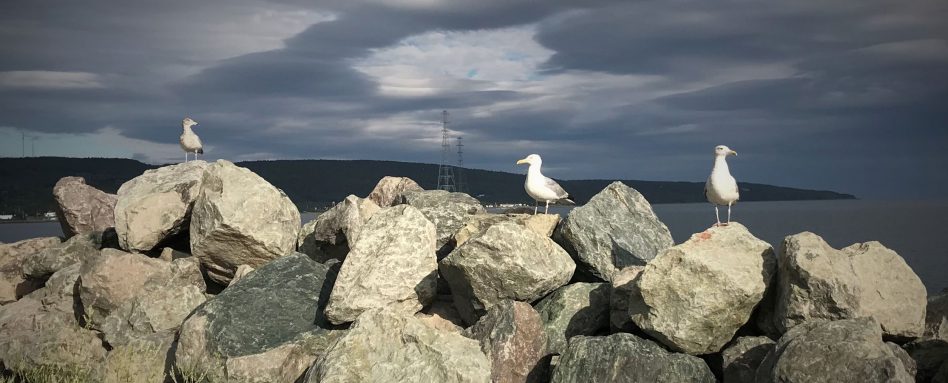
We left Port Hawkesbury and rejoined the Trans Canada Trai in Port Hastings. The Trail from here followed mainly secondary roadways. Leaving Port Hastings, we walked across the Canso causeway. The name Canso was derived from the Mi’kmaq word kamsok meaning ‘opposite to lofty cliffs. This structure was built in the 1950’s to replace the ferry and rail barge services. It officially opened in 1955 with 100 bagpipes and fanfare. It connected Cape Breton to the mainland and changed the local communities forever. Many folks lost their livelihoods, but Cape Breton became more accessible to travellers.
In Aulds Cove, the Trans Canada Trai veered onto highway 344 and meandered along the coastline. It offered us nice vistas and easy walking. In Mulgrave, we joined an old rail-bed trail for a short distance. Nearing Hadleyville, Sandy stopped mowing his lawn and invited us for a cool drink and a snack, an offer we could not refuse. Over ice water and homemade doughnuts, he told us about his family and the community. Sitting on his front porch enjoying the breeze and the view of the inlet was so enjoyable it was hard to get back on the road.
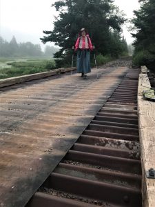 We made good time on the roadways. But the heat in the afternoons became very taxing. The Humidex Factor reached the high forties and stayed high for over a week. We drank and drank and drank, and still we were parched. We remembered the thirst we experienced on the Arizona National Scenic Trail (AZT); this was comparable. In Boylston, we stopped at the general store and purchased two bottles of electrolyte drinks each. They were downed within seconds. We also replenished our water supply. We were now drinking about eight liters each, per day. The lady at the general store told us about a quaint motel by the old golf course in Guysborough. This was our destination for the evening.
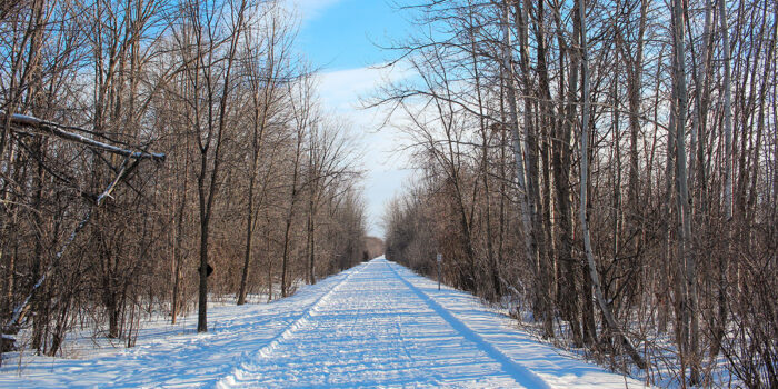
From Guysborough to Sunny Brae, the Trans Canada Trai followed an old rail-bed. We looked forward to getting back onto ‘a wilderness trail’. This path followed what was meant to have been a rail connector between these two communities. The bed was prepped in the 1930’s but never completed. Only a short section near Sunny Brae would ever be built and used as a railway. Most of the trail was beautiful. We walked along this wilderness track and enjoyed the shade and the lush natural surroundings.
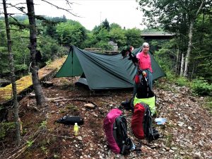
Near the Cameron Lakes, we found a perfect camping spot. It was grassy, offered shade, it was near the river, had a bench, and an outhouse! We opted to sit on the bench while eating our super that evening. ATVers drove by and stopped to chat. One group (a local family) had invited a couple from Québec to their cabin for the weekend in exchange for a cruise on the visitor’s sailboat. It was so wonderful to see these folks from different areas of Canada, barely able to speak to one another (language barriers), discover each other’s worlds and having the time of their lives.
We continued averaging 30-35 kilometers every day. The mornings were misty and offered some beautiful photo opportunities near the lakes and streams. At a roadway crossing in Country Harbour, Julie went to ask a local for some water. “My water is not good but go see my sister in that white house there. She has filtered water”. Her sister invited Julie in, offered to make breakfast and gave us home-made muffins. She filled our dromedary and with many thanks we rejoined the trail.
 The condition of the trail worsened. It appeared that some sections had been plowed in order to widen it. This made the surface very rocky, uneven, and with many ruts. It was hard going. We were thankful that it had not rained as the clay surface would have been impassable for hikers and cyclists.
The last day on the trail, the deer flies were terrible. The flies would swirl around and then hit our faces, enter our ears and noses. It was hard to stay calm and focus on walking. We exited the path to rejoin highway 348 in Sunny Brae. Clyde MacDonald stopped to chat with us as we enjoyed the shade of the historical kiosk by the trail’s end. Clyde told us of his family and the history of the area. Sunny Brae, in its heyday, was 600 souls strong. The Scottish immigrants came to live here from Glen Urquhart in the 1800’s.
Back on the highway (insert the ‘back on the road again’ song), we struggled with the monotony of the roadway scenery and the heat. The Humidex was around 39’ C. Folks stopped and offered us cold water bottles and rides. It was apparent that they were concerned for our safety in this high heat.
As we neared New Glasgow, Julie went to ask at a nearby house if we could get their help getting a taxicab to drive us to a motel (still no cell coverage). The heat had done us in. Gwen offered to drive us herself. As she drove, she decided we would be better served in Pictou. “It is a much nicer town”. She even gave us a tour of the downtown, a bit of the history and suggested the Lionstone Inn as a good place to rest. The name Pictou came from the Mi’kmaq word Pictook meaning – exploding gas – due to the coal fields nearby. This area was a summer community for this First Nations band before the Europeans settled here. It was also where the Scottish immigrants came off the Hector and were received into Canada in the 18th century. The ship, Hector, was rebuilt and sat in the Pictou harbour.
We stayed in Pictou for a day, rested, ate vegetables and got ready for the last day of walking from Pictou to Caribou where we took the ferry to PEI.
Find us walking
Website
Facebook




![[:en]Park Canada[:] Company Logo](https://tctrail.ca/wp-content/uploads/2021/05/LOGO_Partnership_Black_EN.png)


